Jan Pauls
PhD Student at the University of Münster, supervised by Prof. Dr. Fabian Gieseke and co-supervised by Philippe Ciais and Sassan Saatchi

Room 203
Leonardo-Campus 3
48149 Münster, Germany
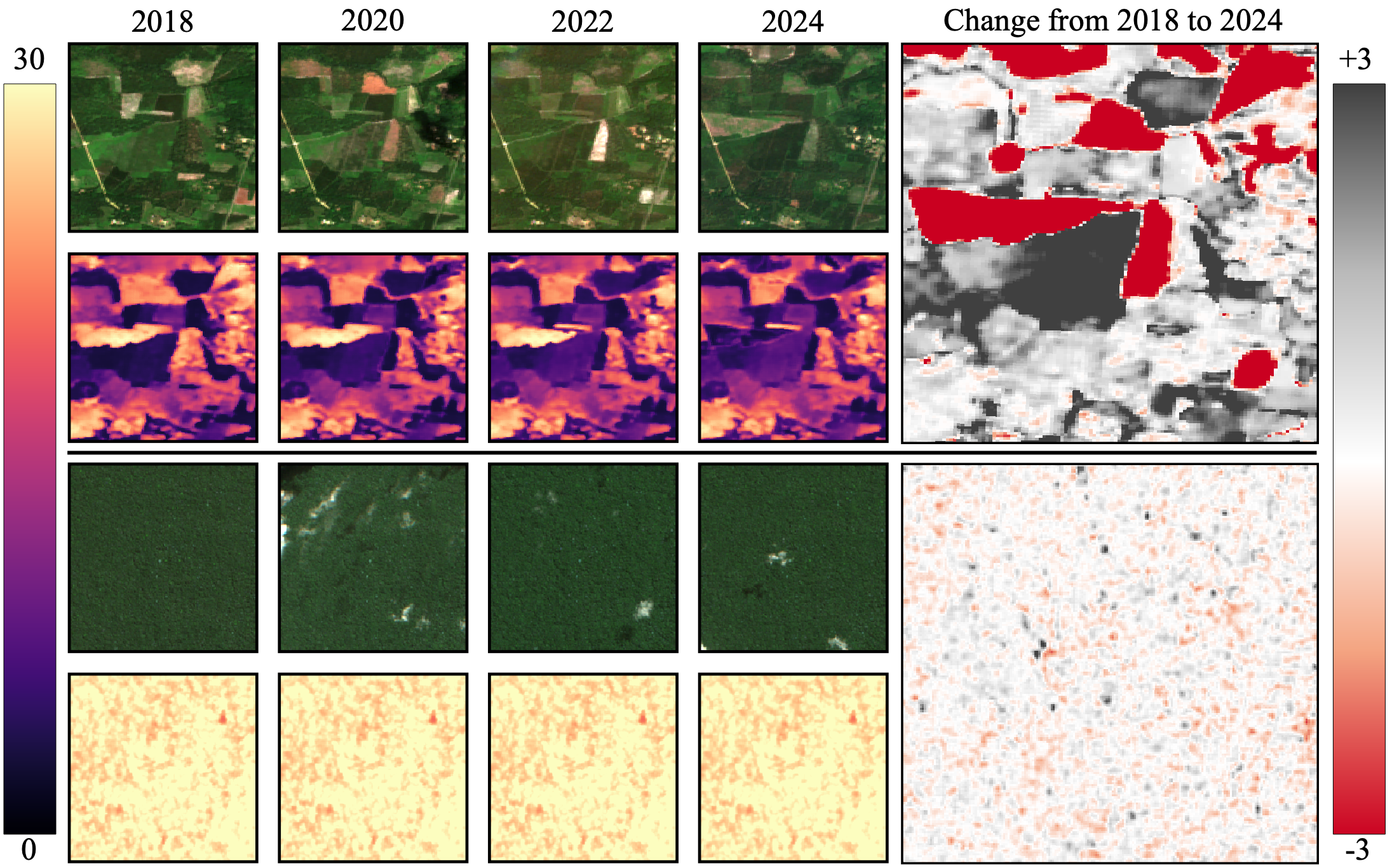
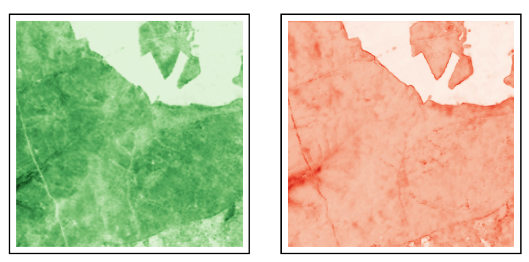
Hey there, I am Jan. Together with my team, I research how to use machine learning methods and remote sensing data to improve forest monitoring and management (as part of the AI4Forest project). We particularly focus on designing efficient models and loss functions to improve technical problems of the underlying data, such as geolocation inaccuracies in GEDI, or Sentinel-2 temporal misalignment in time series data.
I did my bachelor’s and master’s studies in information systems at the University of Münster, with focus tracks on business intelligence and information systems development. For my bachelor’s thesis, I compared algorithms detecting infrastructure damage after natural distasters from satellite imagery. My master’s thesis focused on developing a framework for estimating forest height from satellite imagery for the Flanders region of Belgium.
Outside of research, I enjoy doing sports, especially triathlon and long-distance cycling, but also beach volleyball and going to the gym. Besides, I like reading science-fiction and learning about completely unrelated topics.
latest news
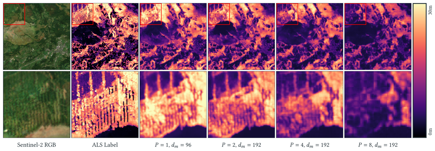
| Sep 29, 2026 | Our paper “Pixel-Level Transformers in Remote Sensing: A Canopy Height Case Study”, led by Sven Ligensa, has been accepted at ACM SIGSPATIAL 2026. We show that pixel-level attention beats larger patch sizes for canopy height regression and study efficient attention variants to keep it practical. Preprint on arXiv. |
|---|---|
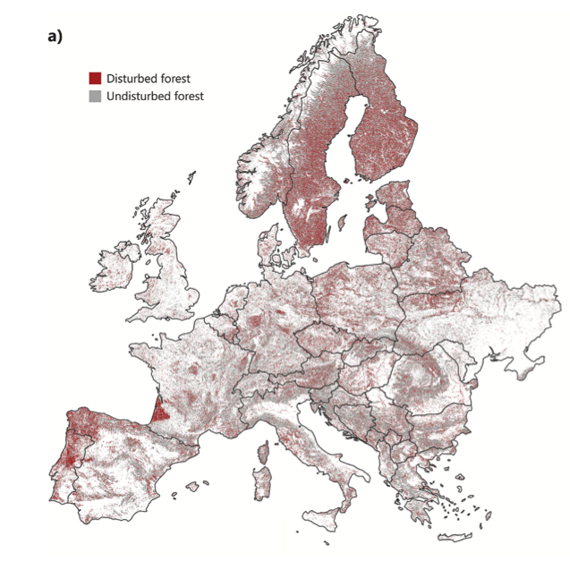
| Sep 14, 2026 | Our paper “Deep learning-based forest disturbance detection for Europe using Landsat time series” is now published in Remote Sensing of Environment. Using a 1D U-Net on Landsat time series, we map annual forest disturbances across Europe at 30m resolution from 1985 to 2024. Joint work with the Earth Observation for Ecosystem Management group at TU Munich. |
| Sep 01, 2026 | Our paper “Brick Kilns Across India: A Temporal Analysis of Brick Kiln Distribution and Technology Types” has been published in the International Journal of Applied Earth Observation and Geoinformation. We map brick kilns and their technology types across India over multiple years from Sentinel-2 imagery; the accompanying MuTBriK dataset is available on Zenodo. |
| May 01, 2026 | We are happy to announce that our proposal for compute time on the HPC Jülich Cluster has been accepted! |
selected publications
- RSE
 Remote Sensing of Environment, 2026
 - AISTATS
 In Twenty-Ninth Annual Conference on Artificial Intelligence and Statistics (AISTATS), 2026
 - ICMLIn ICML25: Proceedings of the 42nd International Conference on Machine Learning, 2025
- ICML
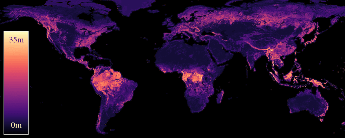 In ICML24: Proceedings of the 41st International Conference on Machine Learning, 2024
 - RMSE
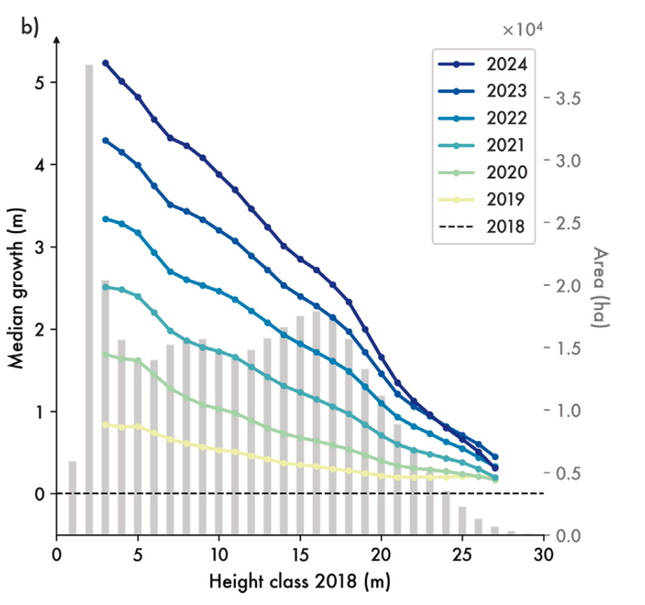 Remote Sensing of Environment, 2025